This page contains just a few extras to help you better understand ideas about projection technically: the result of using one of variety of methods to transfer the geographic locations of features from a geographic coordinate system to a developable surface everyday use: any coordinate system, geographic or projected methods and projected coordinate systems. Lots of times, when we read thing written by different authors, the concepts are really clarified.
An Article About Various Projection Methods - USGS
This article does a great job of explaining the uses of several common projection technically: the result of using one of variety of methods to transfer the geographic locations of features from a geographic coordinate system to a developable surface everyday use: any coordinate system, geographic or projected methods, which will later become projected coordinate systems. Like we learned earlier, the projection technically: the result of using one of variety of methods to transfer the geographic locations of features from a geographic coordinate system to a developable surface everyday use: any coordinate system, geographic or projected method is the means by which we transform the round Earth into a flat map after selecting a developable surface a geometric shape which will not be distorted when flattened. Used as the base shape to transfer features during projections. Most often a cone, cylinder, or plane (azimuthal) and an aspect [geographic coordinate systems] The direction the developable surface a geometric shape which will not be distorted when flattened. Used as the base shape to transfer features during projections. Most often a cone, cylinder, or plane (azimuthal) faces in relation to the geographic coordinate system. Normal; transverse, oblique[topography] The cardinal direction a slope A numeric value - either in percent or degree - expressing the steepness or the rise/run of the landscape. faces (NSEW) . To get from a projection technically: the result of using one of variety of methods to transfer the geographic locations of features from a geographic coordinate system to a developable surface everyday use: any coordinate system, geographic or projected method to a projected coordinate system, one must first select either a single tangential line or two tangential lines and a linear unit of measure (metric, imperial, or international imperial) for that specific projected coordinate system. We learned that projection technically: the result of using one of variety of methods to transfer the geographic locations of features from a geographic coordinate system to a developable surface everyday use: any coordinate system, geographic or projected methods can be either secant either one parallel or Meridian (or tangent at two), and while that is indeed true, it's important to note that just because that is how we get a projection technically: the result of using one of variety of methods to transfer the geographic locations of features from a geographic coordinate system to a developable surface everyday use: any coordinate system, geographic or projected method, it's not creating a projected coordinate system until the line(s) - or single point A GIS vector data in any sort of digital science or art, is simply denoting a type of graphical representation using straight lines to construct the outlines of objects geometry type which is made up of just one vertex pl. vertices One of a set of ordered x,y coordinate pairs that defines the shape of a line or polygon feature. , marking a single XY location in any given geographic or projected coordinate system. , in the case of azimuthal projection technically: the result of using one of variety of methods to transfer the geographic locations of features from a geographic coordinate system to a developable surface everyday use: any coordinate system, geographic or projected method - of intersection AND pick a linear unit.
Projections Wizard - A Projection Selection Tool
Projection Wizard is a web application that helps cartographers select an appropriate projection technically: the result of using one of variety of methods to transfer the geographic locations of features from a geographic coordinate system to a developable surface everyday use: any coordinate system, geographic or projected for their map. Depending on the extent and the distortion property of the map, the application returns a list of appropriate map projections with additional projection technically: the result of using one of variety of methods to transfer the geographic locations of features from a geographic coordinate system to a developable surface everyday use: any coordinate system, geographic or projected parameters if necessary. The Projection Wizard is based on John P. Snyder’s selection guideline and on the extension to this guideline for world and hemisphere maps written by the Cartography and Geovisualization Group at Oregon State University.
The Projection Wizard displays a map preview on the right side of the list with appropriate projections. The preview shows how the projected data will look and in most cases does not show the correct geographic extent. The map preview is created using D3.
XKCD Web Comic - What your Favorite Map Projection Says About You
Just a few examples of visualizing projection technically: the result of using one of variety of methods to transfer the geographic locations of features from a geographic coordinate system to a developable surface everyday use: any coordinate system, geographic or projected from around the web.
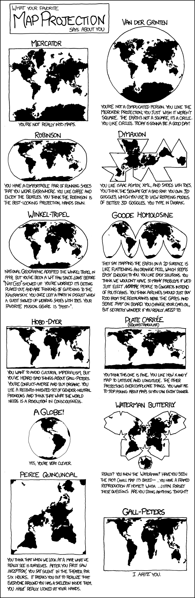
XKCD A webcomic of romance, sarcasm, math, and language. http://xkcd.com/977/
XKCD A webcomic of romance, sarcasm, math, and language. http://xkcd.com/977/